Dive Brief:
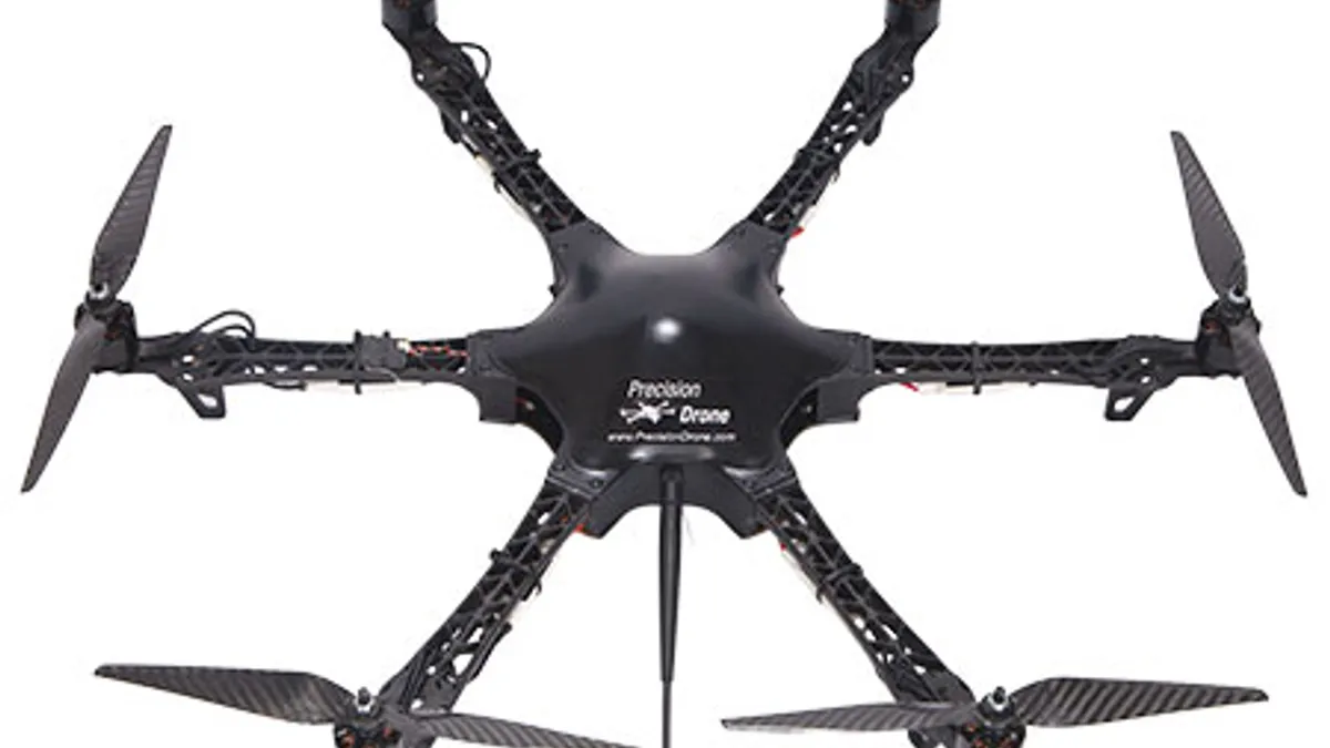
- Apple is possibly planning on using drones and a new indoor navigation feature to improve its map data and service according to anonymous insiders as reported by Bloomberg.
- The move is designed to catch online map leader Google.
- One of Bloomberg’s sources said Apple is putting together a team of robotics and data collection experts to capture and update map information faster than the current method of using camera and sensor equipped minivans.
Dive Insight:
Apple’s history with its mapping service is rocky with an infamous rollout of maps that included roads that simply ended on the app, incorrectly labeled buildings and bridges that led to nowhere. If its new drone plan works out Apple will be able to notice signs of construction and new infrastructure like streetlights that could quickly provide the most up-to-date map information for its app users. The tech giant is also planning to add views inside buildings and improved car navigation features for its maps.
Mapping apps are popular with mobile users. Marketers also look for strong mapping technology and location data so they can show mobile users nearby locations and provide the quickest way to get there. Right now Google has been the clear leader with its technology the standard for everything from daily commutes to professional car services to geolocation. By providing more accurate and up-to-date information, Apple hopes to do a better job of keeping iPhone users within the iOS walled garden of services.
Last September, Apple applied for a Federal Aviation Administration exemption to fly drones for commercial purposes. The indoor mapping project is likely related to Apple’s acquisition of Indoor.io last year along with an earlier purchase of WiFiSlam, a company with indoor navigation experience. Apple didn’t comment on any of Bloomberg’s reporting.


